
Haast to Hollyford: Tramping from Cascade to Gorge River and Martins Bay
The Cascade coastline from Haast to Hollyford is one of the most beautiful parts of New Zealand. However, few people actually go there. I grew up at Gorge River, halfway along this piece of coastline and over the years my family have given many people advice about tramping in this area.
Therefore, I decided to write a post with some directions of how to tramp from the Cascade road end to Gorge River and onto Martins Bay. From Martins Bay it’s simple; just follow the Hollyford Track to the road. No need for me to write directions for that part.
It is an absolutely stunning piece of New Zealand, almost untouched by humans from the ocean to the top of the mountains. I have been hiking in this area all my life and it is wild, rugged and awesome!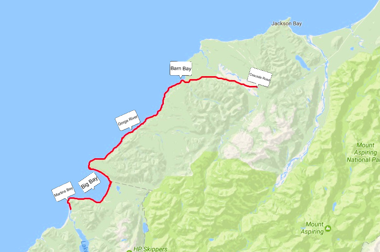
First: A video to inspire you
The Haast to Hollyford Road idea
In the past few years there has been talk of building a road through the hills from the Cascade to Pyke River and on to Milford Sound. One of the arguments for building the road is to open up access to this special area. What people don’t realize is that this area is special because THERE IS NO ROAD. Actually, we already have access; it just requires a backpack, a tent, a map and a sense of adventure. And the place is all yours; literally, you may not see anyone else on a 5 day hike here.
So I encourage people to get out there and explore one of New Zealand’s hidden, untouched gems. At the same time, let’s preserve it for future generations to do the same.
Ok, enough of that. Below, you will find instructions on how to access this area and hike from the Cascade River to Martins Bay.
So Where To Start?
Forecasts
Between Cascade River and Martins Bay there is one river that has a bridge (Awarua river), 6 rivers that don’t, and one that has a boat. Without a bridge, these rivers can’t be crossed after heavy rain. As locals in this area, we always look at different weather forecasts and in general, we find these 2 websites provide the best forecasts.
From these websites you can print off your 5-14 day forecast and take it with you.
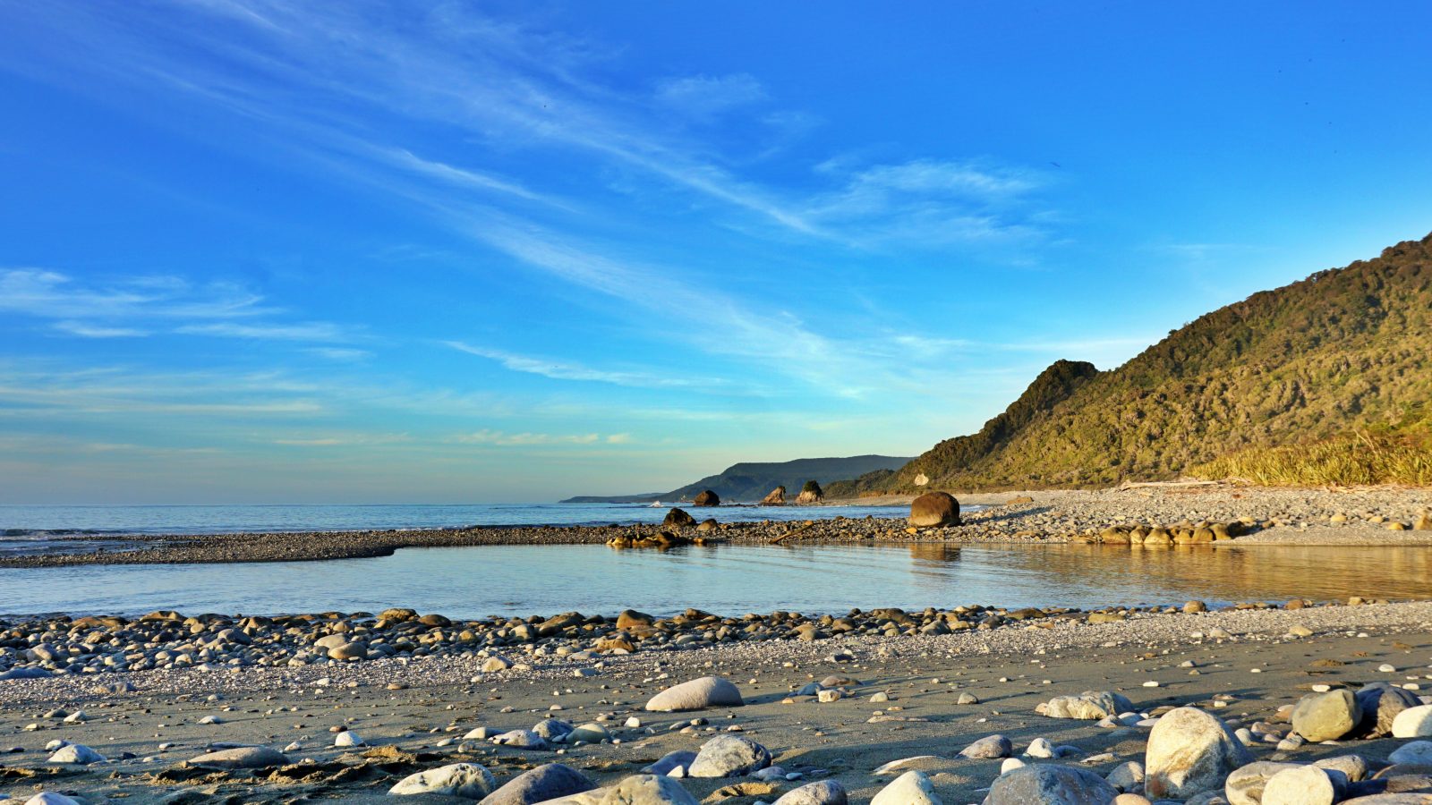
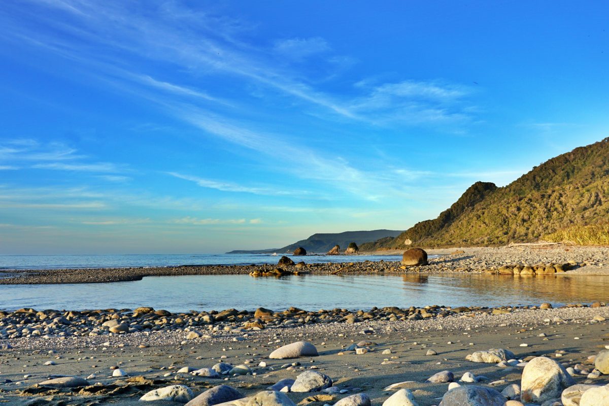
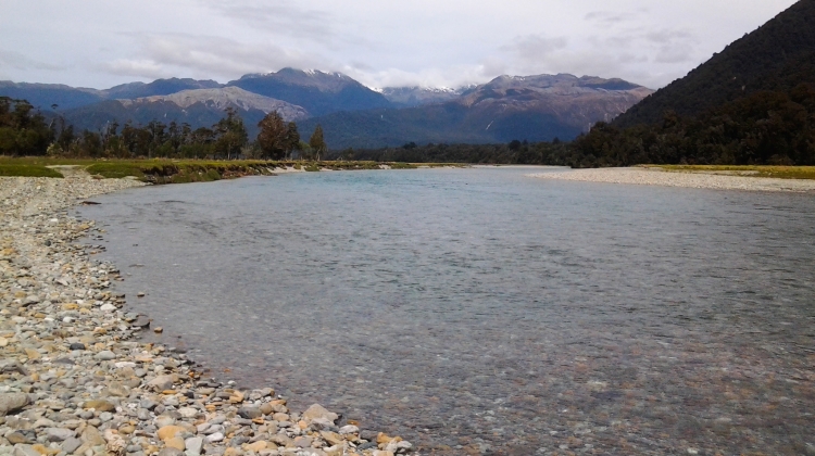
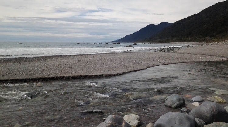
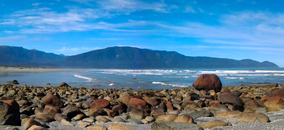
Looking north from Gorge River
Equipment
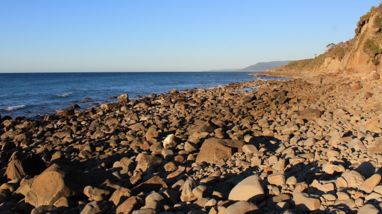
For most of this route you are following the coastline or a rough 4×4 track so you need good Off Track Equipment. My father, Robert and sister, Robin have walked the coastline barefoot but it’s probably not recommended for most people. Haha! The beach varies between boulders, shingle and sand.
You are in the wilderness in New Zealand, so take everything that you would usually take on a multi-day wilderness hike.
Bring a Topo Map of the area. These can be found at Department of Conservation offices or printed for free from this website.
Also I recommend having an emergency locator beacon (EPIRB) of some type or a satellite phone or some sort of satellite communication, Inreach, Spot ect…. Cell phones don’t work ANYWHERE here and if you have an accident you are by yourself. I have always carried an EPIRB tramping and hunting since a young age.
For fit and fast walkers you can tramp this coastline without a Tent going between huts along the way. However, if you want more flexibility you should carry one. That way you can stop if you are tired and camp wherever.
Food
And of course, take food for your entire journey. I highly recommend taking at least 2 days of extra food. Something light like pasta or rice or a freeze dried meal. I have seen many people use their back-up food supplies, myself included! There are no shops!
Most people find it useful to take some sand fly repelant as well to help keep the sand flies at bay.
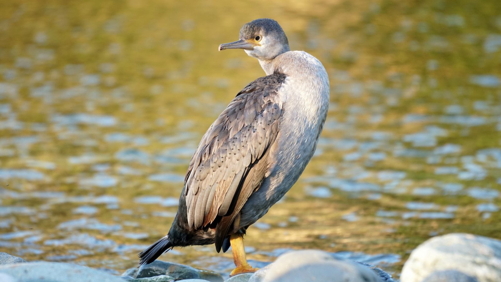
A Spotted Shag at Gorge River
Leave Intentions
It is highly recommended that you leave your intentions with a friend or the Department of Conservation. I always tell my family or friends what I’m up to and I recommend you do the same.
In this modern world, apparently we can now leave our intentions on this website Adventure Smart.
The Tramp from Cascade to Martins Bay
Day one: Cascade Road End to Barn Bay. 5-9 Hours. 20km
First you need to find your way to the Cascade Road End 60km south of Haast. Staying a night in Haast is recommended, to get an early start. Check This Link for some accommodation options.
You can drive and leave your car at the gate, hire a small van from Haast, or hitchhike. My recommendation? hitchhike. Most of the time, rides are easy to find.
Start walking from the big white gate. In about one hour or two you will have to cross the biggest obstacle of the trip, the mighty Cascade River. If you are really lucky, you might get a ride across the river with a local in a 4×4 or jet boat but don’t rely on that!
IMPORTANT
You need to allow 2 days after heavy rain for this river to drop to a level safe enough to cross. Even then 2 days is just a guideline; use your own judgment before committing to cross this river. You have to find the best place to cross; usually this is where you can see 4×4 tracks leading into the river and out the other side.
This picture is in the area that you usually cross the Cascade River. The ford moves over the months and years so it is impossible to know exactly where it will be next time.
Continue to follow the 4×4 track all the way to the Hope River.
The only place to note is about halfway, just before you get to the end of the farm. After the river crossing you go through farmland for 20-30 minutes and then the track goes hard left and into the bush for about an hour. When you next come to a farm paddock follow the 4×4 track. But when you come to a big silver shed and a small farm house with some old cars around it, turn Left! Do not go straight ahead or you will get lost.
Just 2 minutes before reaching the Hope River there is a small green hut on the left. This is a private hut and is kept locked; however the bunk room on ground level is open for people to shelter in and usually has 2 bunks.
Hope River
Upon reaching the Hope River, I usually cross the river where the track finishes and walk down the river bed on the south side for 15 minutes. I then cross again and continue to the coastline on the north side. If you don’t feel like crossing the Hope River these two extra times there is a small track that starts on the right where the 4×4 track drops into the river, just 2 minutes down from the Green Hut. This track saves the 2 river crossings but is often washed out and hard to follow.
It is also possible to four wheel drive, horse ride, motor bike or mountain bike to Barn Bay. South of Barn Bay, it is not possible by any means other than on foot, or by helicopter or airplane.
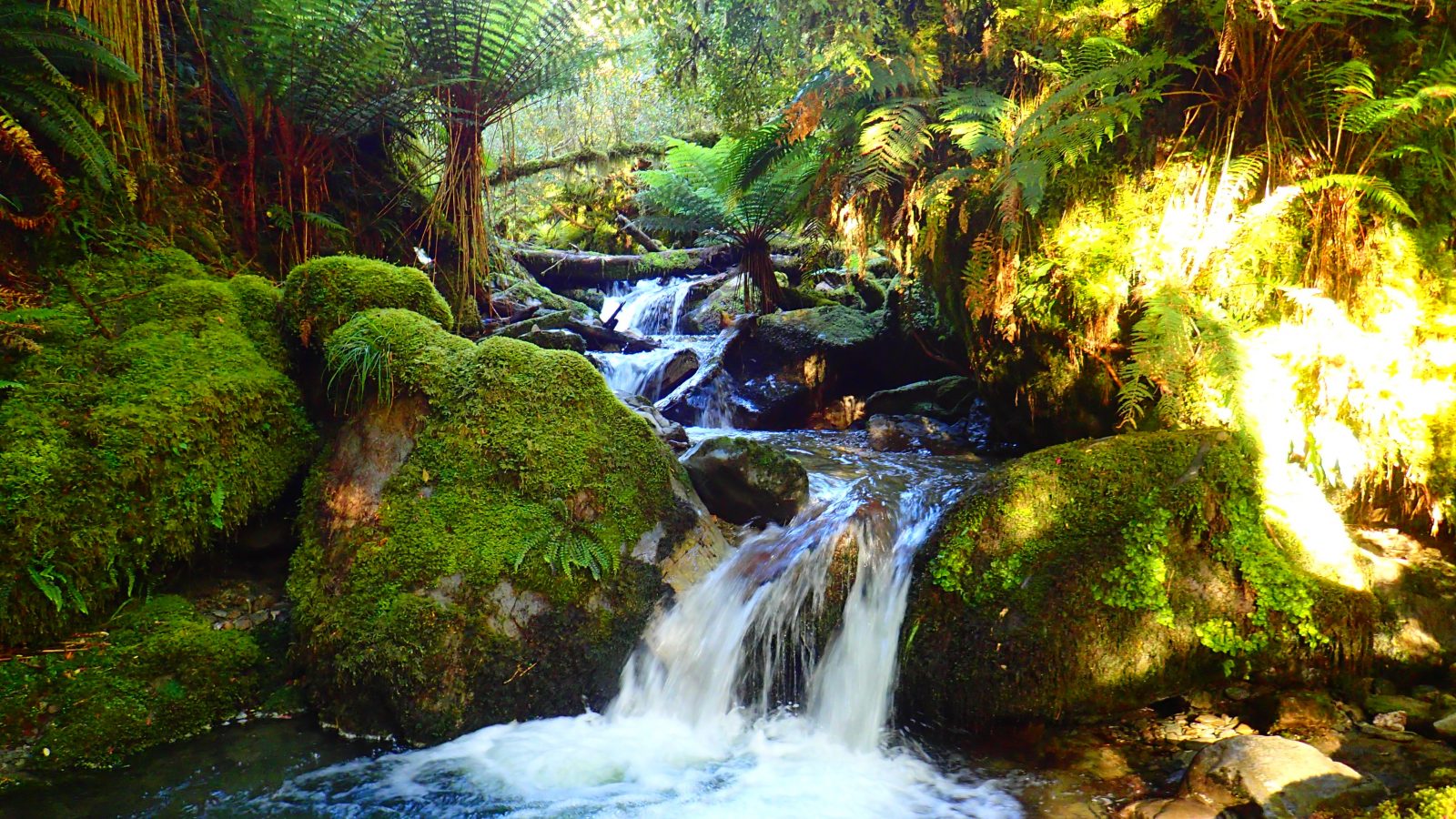
A water fall along the barn bay track
Barn Bay
On the coast at Barn Bay there is an airstrip and another locked private house on the north side of the river mouth. You can rent this house by the night by contacting Robyn Hogland in Haast.
There are plenty of places to camp on the north side of the Hope River mouth and one campsite about 1km south as well. There is often a pod of Hectors dolphins swimming around in the surf in Barn Bay and you can catch Kahawai in the river mouth in summer.
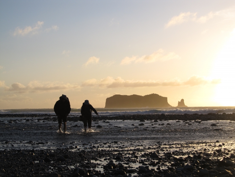
Mum and Dad walking across the Hope River on a windy day, with the Barn Islands in the background. They have done this tramp countless times together
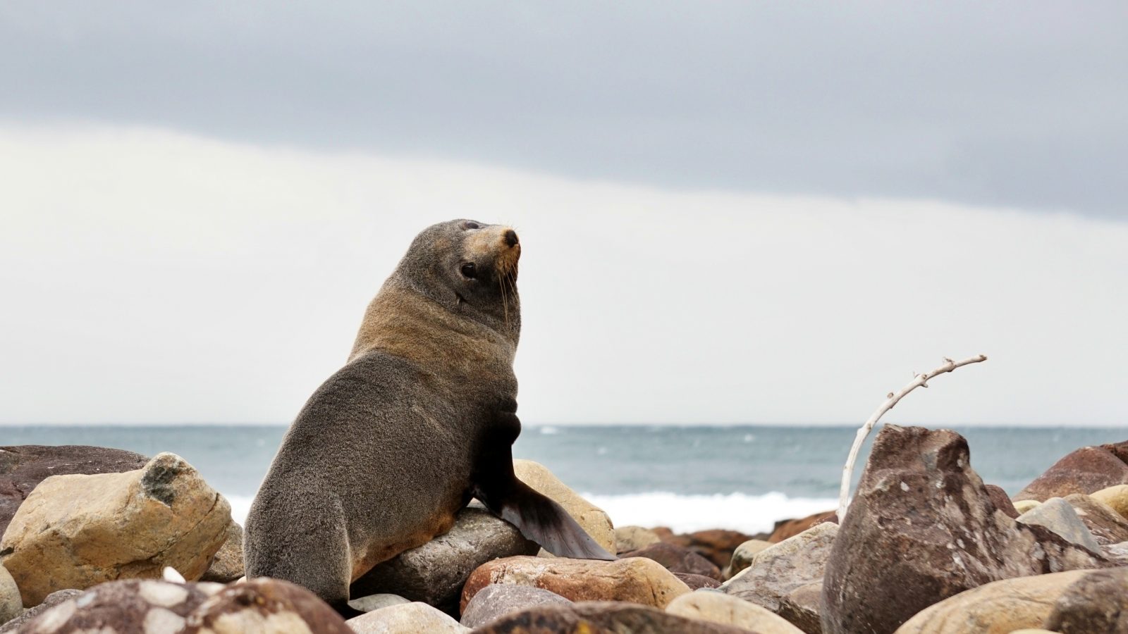
New Zealand Fur Seal at on the rocks at Barn Bay
Day Two: Barn Bay to Gorge River. 6-12 hours. 19 km
Start by crossing the Hope River near the river mouth. Usually this is quite an easy crossing but if it has been raining heavily the day or night before, it will probably not be crossable.
Continue south along the beach on rough boulders. Exactly half way between Barn Bay and Gorge River you will find Sand Rock Bluff. 1km before the bluff you will find some colored fishing buoys hanging in trees and this marks the start of the 1km track that goes over the bluff. It is not possible to go around the bottom of this bluff except at dead low tide with a calm sea. I have walked this coastline countless times and have only been around the bottom of this bluff once. Just go over the top; it’s easy and safer.
The track comes out to a creek on the south side and you floow the small creek to the beach just on the south side of the bluff. Continue down the coastline all the way to Gorge River.
Between Barn Bay and Sand Rock Bluff there is only one place to camp at Little Cascade Bay. South of the bluff there are campsites every 1-2 km.
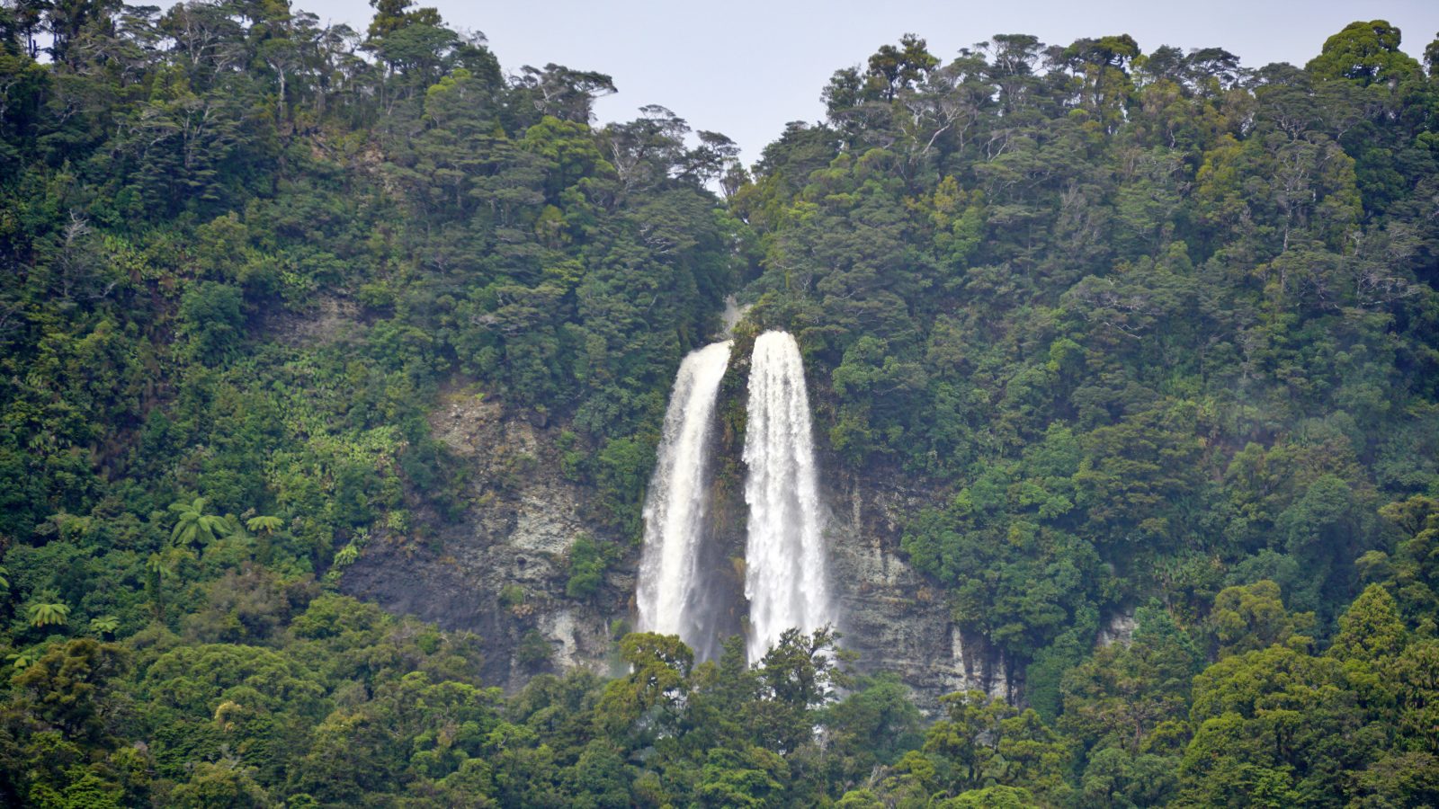
The waterfall at Little Cascade Bay after heavy rain
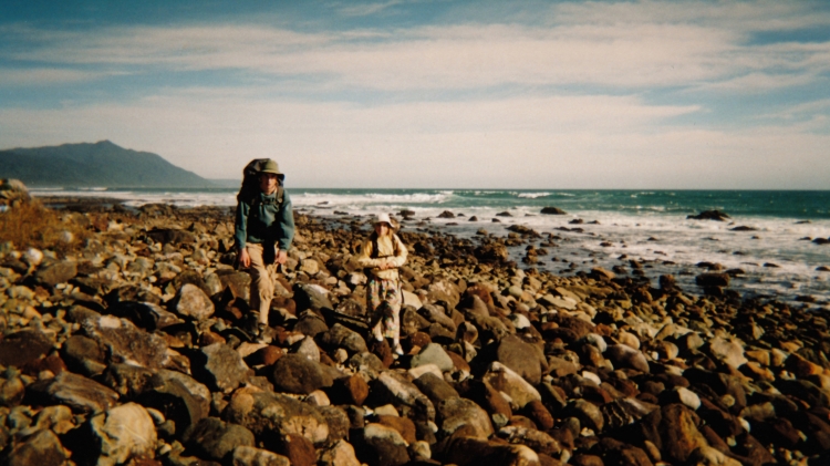
This is a picture of my sister and me, walking just south of Barn Bay, when we were about 9 and 12 years old.
The Spoon River
2km south of Sand Rock Bluff you will find the Spoon River. It is easily crossable unless there has been heavy rain the night before. Be careful as the rocks are slippery.
For most people the Cascade to Gorge River will take 2 long days. However, some of us do it in one day. So if you’re young, VERY fit and want a challenge, you can try to do it in one day. I recently walked from Gorge to the Cascade road end in 6:50 hours. So theres your challenge!
The steeples from the north. Just half an hour north of Gorge River
The view of Gorge River mouth from the north
Gorge River
When you get to Gorge River it is rarely possible to simply walk across; only at spring low tides. Just on the south side of the Gorge River is my family’s house. About 9-10 months of the year there is someone here, so if you stand on the north side and yell or whistle, Mum or Dad will hear you. We have a small boat to ferry people across and we are more than happy to give you a ride. Please don’t hesitate to yell for a ride! We love seeing people tramping this coastline.
Caution: If there has been heavy rain in the night it won’t always be possible to take a boat across this river. Be Careful.
You can also contact Mum and Dad ahead of time by email catherinegorgeus@yahoo.co.nz to let them know you’re coming. They will have the kettle boiling and there’s always a cup of tea and cake waiting for you at Gorge River! Anyone is welcome at any time. We also have New Zealand’s most isolated art gallery!
When we are away from Gorge River we always try to leave a boat on each side of the river; usually either a small inflatable or a canoe/kayak. On both sides you will find the boat about 300m up from the river mouth. Please leave the boats where you find them after use, for the next person.
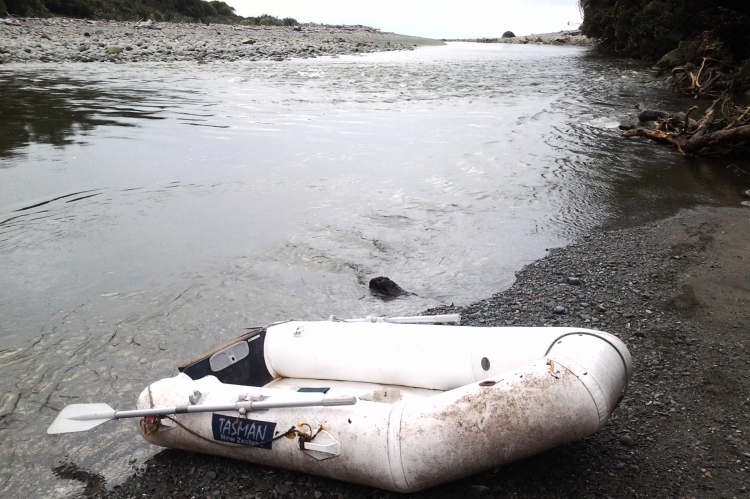
Usually you should find a boat like this or a canoe/kayak on each side of the Gorge River
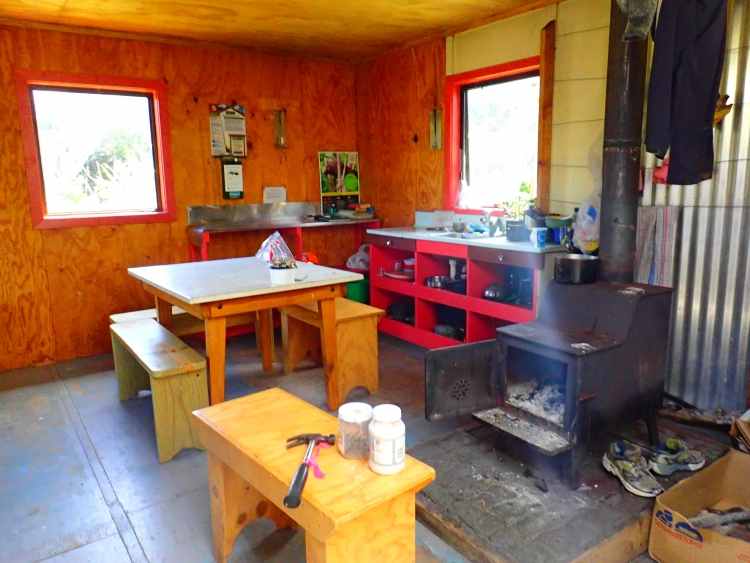
Gorge River DOC Hut
On the south side of the river just next to our house you will find the Gorge River DOC Hut. It has 6 bunks and is for public use. It’s almost always empty except for late March and early April which is the hunting season, when you might have to share with some hunters.
There is an airstrip at Gorge River and it is a good place to arrange for a fixed-wing airplane or a helicopter to pick you up if you don’t plan to walk the whole coastline. The closest helicopter, is in Haast. Contact Haast Heli Services. 03 750 0111
Click This link to see my flight out from home with Haast Heli Services
And the closest fixed wing is in Jacksons Bay, Knights Point Air.
Click This link to see my flight into Gorge River with Blair from Knights Point Air
Day 3-4. Gorge River to Big Bay, 8-15 hours. 27 km
This is the longest stretch of coastline and can easily be broken up into 2 days by camping part way. There are camp sites on the north side of Ryans Creek, both sides of the Hacket River, 1km north of Awarua Point and some places between there and Awarua River.
In saying that, if you are fit you can do it in one long day. And if you are Dad, myself or my sister you can do it in 5 hours. Haha!
Basically, you follow the coastline all the way. Above half tide you have to scramble over a small bluff 1km south of Gorge River and inside Big Bay there is a track that goes for 100m behind Crayfish Rock. Both are obvious and easy to find.
The view looking north from Longridge Point, south of Gorge River
Walking south towards Ryans Creek, the Hacket River and Awarua Point in the distance
Approaching the Hacket River
Caution: Ryan’s creek and the Hacket River are usually easy to cross. BUT if there has been heavy rain during the night they can be flooded and impassable.
The boulders between Hacket River and Awarua River are slow going but it’s a little bit easier at low tide. This is the hardest part of the whole coastline.
The Hacket River when there hasn’t been rain for some time.
Awarua Point looking in towards Crayfish Rock, Big Bay and the Southern Alps in the distance
Big Bay
When you arrive at the Awarua River you can usually cross around the river mouth and walk down the beach about 800m to the Big Bay DOC Hut. If the tide is high or the river flooded, follow a well marked track up past a green whitebaiters’ hut on the north side for 20 minutes to a 3 wire bridge near the DOC hut.
Big Bay is another great place to organise a flight to pick you up. Fixed-wing aircraft can land on the beach below half tide when the weather permits.
Looking out past Crayfish Rock towards Awarua Point and Long Reef in the south
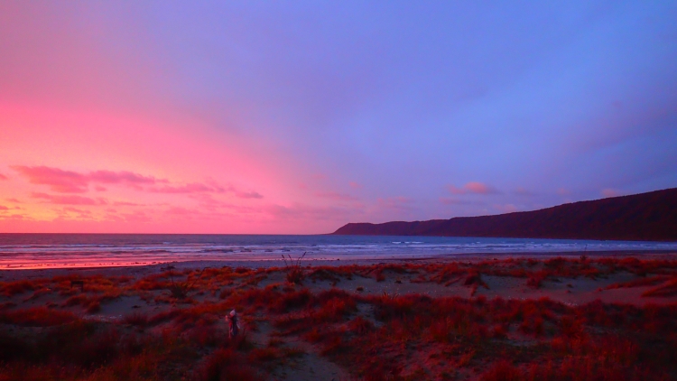
Sunset at Big Bay
The inside of Big Bay DOC hut
Big Bay to Martins Bay, 5-8 hours
Head south along Big Bay beach and cross McKenzie Creek.
Caution: McKenzie Creek is impassible during or shortly after heavy rain. Any other time it’s easy enough to cross.
Continue along the coast line. At Penguin Rock half way between McKenzie Creek and Long Reef there is a track that goes around the inside of the rock. Similar to Crayfish Rock.
There is a seal colony at Long Reef and just before you get to the point itself, there is a track that goes through the bush to avoid some of the seal colony. Continue from there for another 30 minutes or so to the Long Reef DOC hut. This is one of my favorite huts in New Zealand; it overlooks the mighty Southern Ocean meeting the Hollyford River and is a really powerful place.
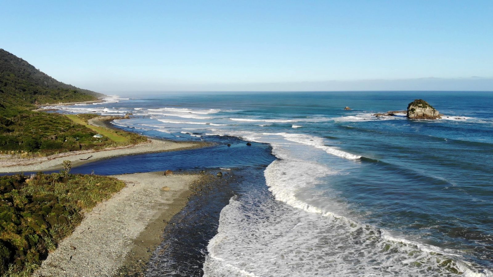
The view from Awarua River looking down Big Bay beach and on to Martins Bay
An other option from Big Bay is to go inland down the Pyke valley to the Hollyford road end. This is also a popular pack rafting route now as well!
From Martins Bay
From Martins Bay you have 3 options.
1: Follow the Hollyford Track for another 3-4 days to the Hollyford road end.
2: Fly by airplane or helicopter to Milford Sound, Queenstown or back to Haast.
3: Take a jet boat in the summer tourist season up Lake McKerrow and walk out to the Hollyford Road End. To do this please contact The Hollyford Track Guided Walks Phone numbers: 0800 832 226 / +64 3 442 3000
Useful Links
Haast Heliservices Based in Haast.
Knights Point Air Facebook Page. Or phone 037500123
Southern Alps Air, Makarora, Wanaka
The Holyford Track information. (DOC)
GorgeRiver.org More about my family at Gorge River
Fiordland Coastal Walks, Guided hikes along this coastline
Useful Reads
If you want to read my parents’ autobiographies, please contact me to order a signed copy.
A Life on Gorge River
A Wife on Gorge River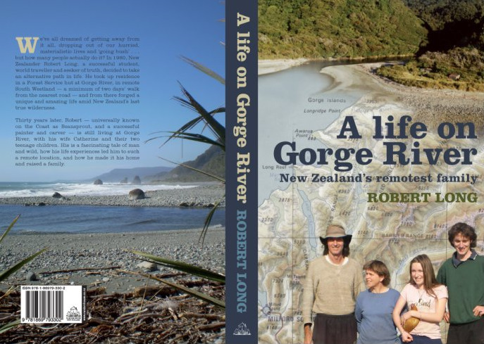
Other route options
There are also other route options in this area. For example:
Cascade Road end to the Pyke River via Gorge Plateau.
From Big Bay continue south to the Hollyford River via the Pyke River Valley.
Jacksons Bay to Cascade River via the Cascade Plateau.
If you want more information on these tramps please message me. Either Dad, Robin or I have done these.
Now it’s your turn!
In this post I have given step-by-step instructions on how to walk the Cascade Coastline from Cascade Road End to Martins Bay. To walk in the opposite direction simple follow the directions in the opposite order.
I hope you find this helpful and please feel free to contact me for more questions before you set off on your tramp.
If you have enjoyed this post, have a look at some other posts I’ve written from Gorge River, Antarctica and around the world.
Home At Gorge River Summer 2016
Expedition to Antarctica and the Sub-Antarctic Islands
Adventure into The Arctic and Sailing the North West Passage


3 Comments
Hi, is this track going through private property/ farms?
Thanks
Great guide for the Haast/Gorge river tramp.Thanks for that. Who better to ask than yourself ?! We are off there in 2 weeks ….Haast/Gorge River /Pyke and Hidden Falls Creek /Glenorchy.
Thank you for the comment. I hope you have a great walk. You might miss mum and dad, they leave for some time in Australia on the 3rd i think.
Have fun!